DJI Zenmuse L3: See Beyond the Surface with Long-Range LiDAR Precision
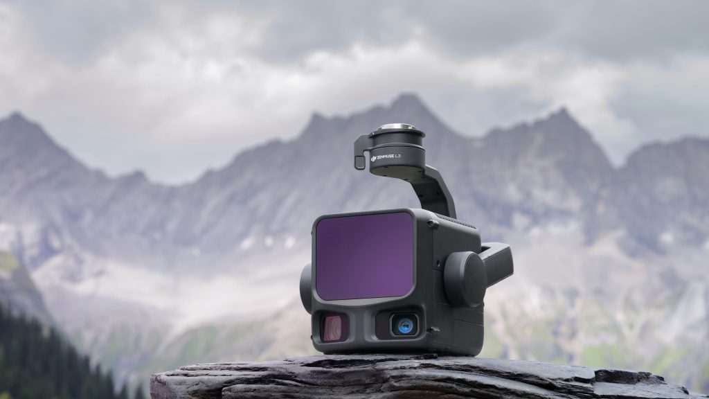
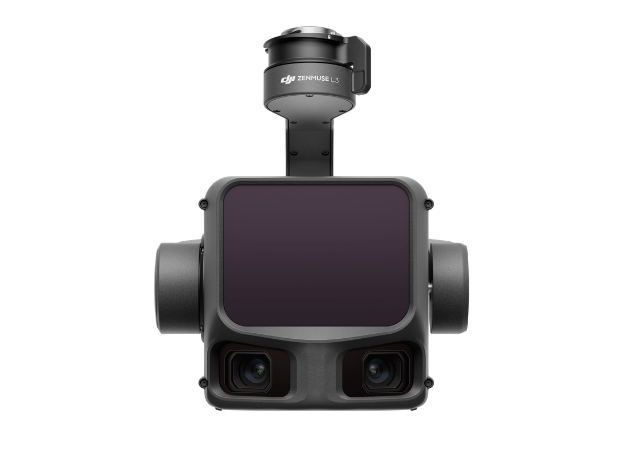
(DJI Zenmuse L3) A next-generation LiDAR payload built for large-scale surveying, terrain mapping, powerline corridor analysis, construction monitoring, and infrastructure planning. Combining long-range LiDAR performance, high-density point cloud generation, and dual RGB imaging, it helps teams collect accurate spatial data faster while reducing the need for extensive ground surveying
The Zenmuse L3 delivers extended detection capabilities up to 950 meters, enabling efficient surveying of large sites, transmission corridors, mines, and infrastructure projects.
Benefit: Cover larger areas with fewer flights and reduced field time.
With up to 2 million points per second, Zenmuse L3 captures rich and detailed datasets suitable for engineering analysis, terrain modeling, and digital twin creation.
Benefit: Generate highly detailed 3D models and accurate elevation data.
Supporting up to 16 returns per laser pulse, the system can penetrate dense foliage and vegetation to capture true ground elevation beneath forest canopies.
Benefit: Faster missions and more complete datasets per flight.
Integrated dual high-resolution RGB cameras capture true-color imagery simultaneously with LiDAR data collection.
Benefit:Produce realistic orthomosaics, textured models, and colorized point clouds from a single flight.
Zenmuse L3 combines advanced LiDAR technology with a high-precision positioning and orientation system to deliver accurate geospatial data suitable for professional surveying applications.
Benefit: Immediate insight into mapping quality and mission progress.
Zenmuse L3 supports Linear, Star-Shaped, and Non-Repetitive scanning modes, allowing operators to optimize data collection for different applications and environments.
Benefit:Adapt data collection to different environments, structures, and mapping requirements.
Zenmuse L3 features an IP54 rating and operates in temperatures ranging from-20°C to 50°C, making it suitable for demanding outdoor conditions.
Benefit: Operate confidently in demanding weather and field conditions with an IP54-rated design.
DJI Zenmuse L3 | Use Cases
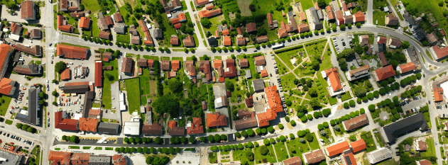
Surveying and Mapping
Capture accurate topographic data, generate Digital Elevation Models (DEMs), and produce detailed 3D terrain models for geospatial projects.
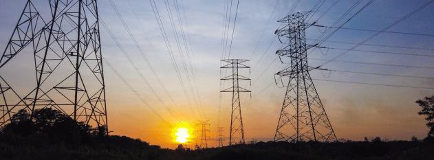
Powerline Inspection
Detect faults from utility poles, towers, and surrounding vegetation with greater accuracy using L3’s small laser and long-range LiDAR capabilities.
Forestry and Vegetation Analysis
Penetrate dense tree canopies using multiple laser returns to capture accurate ground elevation and forest structure data beneath vegetation.
Construction and Infrastructure Planning
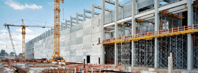
Collect high-density point clouds and RGB mapping data for site planning, progress monitoring, and infrastructure development projects.