
Why Philippines Agencies Need Drones
for Floods and Rescue?
The Philippines faces an average of around 20 tropical cyclones each year, and the human cost of slow, blind, ground-based response is steep. The urgency is now official: after a Philippine Air Force helicopter crashed during post-typhoon damage assessment in Agusan del Sur, Defense Secretary and NDRRMC Chair Gilberto Teodoro directed the Office of Civil Defense to study how unmanned aerial technology can be integrated into disaster response, noting that drones let teams gather data faster and with less risk to responders. In parallel, the PNP has declared a shift toward a technology-powered future, using drones as “eyes in the sky” during floods, fires, and rescue operations.
According to DJI Commercial Drones PH, DJI enterprise drones are engineered to deliver precision, enhanced operational efficiency, and cost-effective data collection through advanced sensors, intelligent flight modes, and real-time data processing. Among its featured industries, the platform highlights Search and Rescue, “Rapid Response When Every Second Counts,” and, “Reliable Aerial Solutions for Public Operations,” making it a natural fit for the mandates of the OCD, PNP, BFP, AFP, and LGU disaster offices.
Table of Contents
What Challenges Do Emergency Responders Face During Floods?
Drones directly address each of these pain points, turning a blind, reactive response into an informed, coordinated one.
Ground surveys are slow and dangerous, delayed by impassable roads, floodwaters, and landslide debris.
Manned aerial reconnaissance carries real risk, as tragically shown by the fatal PAF helicopter crash during post-typhoon assessment.
Rescue teams face near-zero visibility at night and unstable, collapsing terrain.
Delayed damage assessment slows relief, resource allocation, and rehabilitation across affected regions.
Fragmented, siloed rescue efforts make real-time coordination difficult. A gap the national Search and Rescue Strategic Plan 2026–2036 aims to close.
The Role of DJI Drones and Software for Flood Response and Rescue
Below are the following practical, enumerated guide to the DJI Enterprise drones and software most suitable for emergency flood and search-and-rescue operations, with the mission each one is built for.
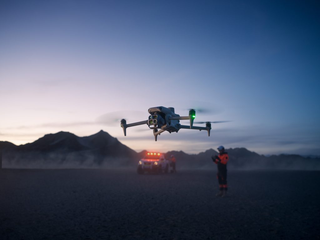
DJI Matrice 4T: Rapid Search-and-Rescue Workdrone
The Matrice 4T is a compact, thermal-equipped drone built for first response. Weighing around 1.2 kg and airborne in roughly 30 seconds, it carries a radiometric thermal sensor and visual cameras to pinpoint stranded survivors, day or night.
- Best for: wide-area damage assessment, regional flood mapping, infrastructure inspection
- Key advantage: long flight time, precision positioning, multi-sensor flexibility
DJI Matrice 400: Long Endurance Wide Area Assessment
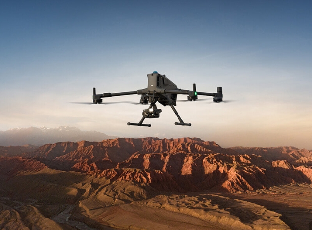
For large-scale flood mapping and post-disaster damage assessment, the Matrice 400 delivers long endurance, multi-payload support, and industrial reliability.
- Best for: wide-area damage assessment, regional flood mapping, infrastructure inspection
- Key advantage: long flight time, precision positioning, multi-sensor flexibility
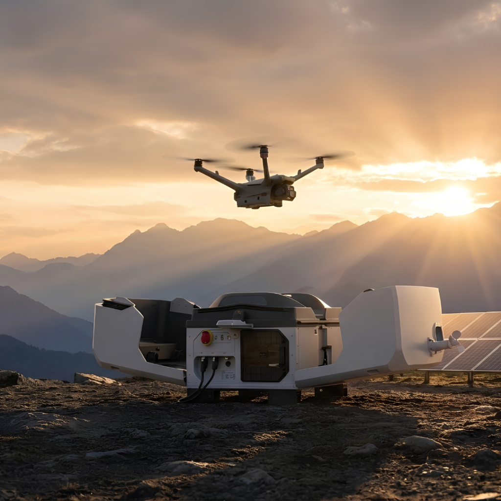
DJI Dock 3 + Matrice 4TD: 24/7 Autonomous Flood Monitoring
The DJI Dock delivers fully autonomous, pilot-free aerial operations with cloud scheduling and real-time monitoring. Paired with the all-weather Matrice 4TD, Dock 3 watches rivers, dams, and flood zones, launching instantly as water rises.
- Best for: continuous monitoring of dams and rivers, early warning, unmanned patrols
- Key advantage: autonomous, all-weather, cloud-managed via FlightHub 2
DJI Zenmuse H30 Series and LiDAR Payloads: Mission Critical Sensors
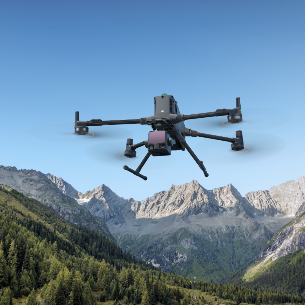
The Zenmuse H30 Series combines wide, zoom, and thermal imaging for survivor detection and night operations, while LiDAR payloads (Zenmuse L-series) capture the high-density point clouds needed for flood modeling.
- Best for: night-time SAR, thermal survivor detection, 3D floods terrain modeling
- Key advantage: multi-sensor imaging and centimeter-grade LiDAR mapping
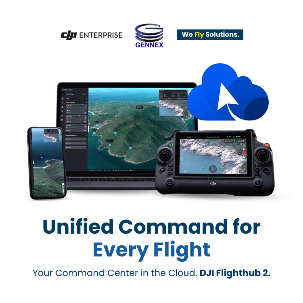
DJI FlightHub 2: The Command and Control Software
Hardware is only half the solution. DJI FlightHub 2 is the cloud platform that livestreams aerial feeds to command centers, coordinates fleets and docks, and shares real-time maps across agencies, aligning perfectly with the goal of unified, interconnected emergency response.
- Best for: multi-agency coordination, live command-center awareness, fleet and dock management
- Key advantage: real-time streaming, mapping, and mission control from one platform
Philippine Case Studies: Drones Already Proving Their Worth
Across the archipelago, Philippine agencies and LGUs are already turning to drone technology to solve their toughest flood challenges. The following real, locally relevant cases show what is possible, and why standardizing DJI Enterprise platforms is the logical next step.
Case Study 1: NOLCOM Deploys Drones for Rapid Damage Assessment After Super Typhoon Uwan
In November 2025, following the devastation of Super Typhoon Uwan, the Northern Luzon Command (NOLCOM) of the Armed Forces of the Philippines launched Unmanned Aerial Systems to support Rapid Damage Assessment and Needs Analysis (RDANA) across flooded and inaccessible areas of Northern and Central Luzon. Equipped with real-time imaging, the drones let teams swiftly determine the extent of damage, locate isolated communities, and identify urgent humanitarian needs without exposing personnel to risk. The aerial data was immediately shared with the Office of Civil Defense, Local DRRM Councils, and LGUs to guide relief operations, evacuation planning, and infrastructure restoration, a textbook example of drones enabling coordinated, multi-agency flood response. This is precisely the mission profile the DJI Matrice 400 and FlightHub 2 are built for, with longer endurance, higher-precision sensors, and secure live streaming to command centers.
Case Study 2: Manila City’s AI Drone That Predicts Floods Two Hours Ahead
In 2026, the Manila city agency invested in a drone powered by artificial intelligence and 3D technology to map city-wide structures and drainage systems down to millimeter precision. By calculating rainfall volume against land elevation, the system can predict which areas will flood up to two hours before it happens, enabling timely evacuations that save lives and property. The Manila Disaster Risk Reduction and Management Department was even recognized in San Diego, California for its GIS-driven disaster response. It is a powerful demonstration that high-precision aerial mapping, exactly what DJI RTK drones and LiDAR payloads deliver, is shifting Philippine LGUs from reacting to floods toward preventing their worst impacts.
Case Study 3: DOST-UP’s Nationwide LiDAR Flood Hazard Mapping (Phil-LiDAR 1)
At a national scale, the DOST-funded UP DREAM and Phil-LiDAR 1 Program used airborne LiDAR to produce detailed flood hazard maps for over 300 river basins across the country, tapping the University of the Philippines and 15 higher-education institutions. The award-winning program delivered terrain models with one-meter horizontal resolution and 20-centimeter vertical accuracy, giving LGUs and national agencies decision-ready data for evacuation planning, land-use management, and flood mitigation. It proves that LiDAR-based flood mapping works at a Philippine national scale, and today, compact DJI platforms paired with Zenmuse L-series LiDAR put that same capability within reach of individual provinces and cities, on demand and at a fraction of the cost.
Case Study 4: DJI Enterprise Drones in
Tanauan City, Batangas
Closer to the ground, when Typhoon Kristine (2024) triggered deadly landslides and floods around a remote lakeside sitio, DJI Enterprise Philippines deployed drone technology to support search, rescue, and retrieval operations for families searching for loved ones. As DJI Director Garrick Hung noted, DJI Enterprise drones “have become indispensable tools for public safety agencies including law enforcement, fire departments and search and rescue teams,” providing aerial support as a first responder, a direct, local demonstration of DJI serving Philippine communities in exactly the flood-and-landslide scenarios emergency responders face each year.
Why Choose Gennex for
DJI Enterprise Solutions?
Authorized Distributor for DJI Enterprise

FAQs
Our ground teams can't reach flooded or landslide-hit areas fast enough. How can drones help?
Rescues often happen at night or in near-zero visibility. Which drone works then?
We need to map entire flood-affected regions quickly. What's the best option?
Can we monitor rivers and dams around the clock without on-site pilots?
Do drones really work for flood response in the Philippines, or is this still theoretical?
Why source DJI Enterprise drones from Gennex specifically?
Authorized distributors provide genuine products, official warranties, technical expertise, and reliable after-sales support.
Smarter Flood Response Starts from the Sky
Real-time aerial data is a crucial step in ensuring flood and rescue operations starts with an accurate, reliable, and actionable insight. From strengthening damage assessment and multi-agency coordination to enhancing responder safety and speed, DJI Enterprise drones help minimize costly delays and support better outcomes for every community at risk.
contact: drones@gennexcorp.com
